
Lichtenfels District Office benefits from satellite technology and digitization
Precise positioning data is essential for containing animal diseases such as African swine fever (ASP): every site where a wild animal has died must be reported to the veterinary office so that it can obtain an overview of the current spread of the disease. The district office in Lichtenfels, Upper Franconia, uses the satellite receiver ppm10xx GNSS sensor in conjunction with a mobile device to locate the find site and stores the data in the RIWA-GIS center (RGZ), a web-based geographic information system (GIS).
“The solution has given us a standardized and integrated platform on which all relevant information is available in near real time,” says Otto Betz, GIS coordinator at the Lichtenfels district office. “The legal reporting requirements have been fully digitized and the district of Lichtenfels is able to implement measures to combat epidemics quickly and effectively.”
Globalization and the international animal trade favor the worldwide spread of animal diseases. In 2020, ASF was detected for the first time in wild boar in eastern Germany. Although the virus is not dangerous for humans according to current knowledge, experts believe that its spread among domestic pig populations could lead to significant economic damage. To plan appropriate protective measures, such as the construction of exclusion fences or buffer zones, the district office needs an overview of the current spread that is as complete as possible.
The challenge of determining the location
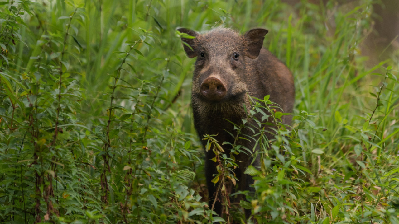
For this purpose, every wild boar found dead must be reported to the responsible veterinary office. The office then arranges for the recovery and sampling of the deceased animal. To ensure that this process runs smoothly, it is important to determine the location as accurately as possible. The Lichtenfels District Office uses the ppm10xx GNSS sensor for this purpose. This device receives and processes signals from all global satellite systems (GNSS) at almost all frequencies.
However, the fact that game is usually found in the forest makes determining the exact position data with a satellite receiver a particular challenge. While the reception of satellite signals works smoothly in open fields, so-called shadowing often occurs in forests:
“Branches and leafy trees interrupt the satellite signal, which usually leads to inaccuracies in the measurement result,” says Otto Betz. “Since we started using the ppm10xx GNSS sensor, this problem has practically ceased to occur.”
The use of multiple GNSS means that a sufficient signal is available almost everywhere. In addition, the compact dimensions of just 10 x 5 x 3 centimetres and low weight of 130 grams make the ppm10xx GNSS sensor ideal for working in the forest and in the field. The device can be connected to a mobile device, whether tablet or smartphone, via a USB port.
GIS-based platform provides an overview
The ppm Commander software enables the integration of position data into the RIWA GIS center. This is a web-based geoinformation system used by the district of Lichtenfels and all its towns, markets and communities. This allows a wide variety of data with a geographical reference to be stored, retrieved and visualized.
The GIS also provides valuable assistance in combating ASF:
If a hunter finds a dead animal, they determine the coordinates of the location using their smartphone and report them to the veterinary office. The office then enters them into the RGZ and creates a geonotice with information about the animal, the location, the time of the report and the personal details of the hunter. This note is then transferred by the data manager to the mobile map app for field staff. Since the hunter cannot determine the exact location using a smartphone, the ppm10xx GNSS sensor is of crucial importance for precise positioning.
As soon as the employees of the veterinary office have completed their on-site inspection, they supplement and correct the previous information in the geonotice. They then transfer this information to the RIWA-GIS and simultaneously send it to the employee responsible for taking the animal to the specially set up collection point. With the transfer to the RIWA-GIS, the data is then available centrally and can be viewed and evaluated by all responsible parties.
If it is assumed that there is no internet connection in the area of the find site, the respective map area can be transferred to the tablet in advance to work offline on site. As soon as an internet connection is available again, the data is imported into the GIS. Alternatively, it is also conceivable that the hunters responsible could install the RIWA-KartenApp directly on their smartphone and set a geotag at the site itself. However, from a licensing point of view, this requires that the hunters are acting on behalf of the district office in the fight against “ASP”.
Efficient solution for combating animal diseases
The constantly updated database in the GIS provides the perfect basis for quickly planning and implementing measures to prevent the spread of ASF. The Lichtenfels District Office also considers itself well equipped to combat other animal diseases, such as bird flu, with its fully digital solution.