


ppm10xx GNSS sensor
The most universal GPS system for all your tasks.
Capture 3D data more easily and simply

ppm10xx sensor
via USB
connect.

Tree inspections
under dense
foliage.

Pipes
measure in the trench and create a DXF plan.

Excavation pits
mark out and
determine the volume.
The incredible ease of measuring.
ppm10xx with short antenna
The GNSS L1/L2 Helix antenna ensures excellent almost all-round reception. The flexible gooseneck enables optimised alignment of the GNSS antenna on a tablet.
235 g
(receiver + short antenna + USB cable)


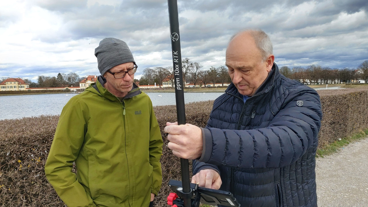
ppm10xx with pole antenna
Antenna pole kit consisting of a plug-in 2 m carbon pole, with 2.5 cm ∅, internal antenna cable and a precise GNSS helix antenna. This turns the ppm10xx into a “classic” surveying system.
The mount for the 10xx is located on the rod.
805 g
(receiver + pole antenna + USB cable)
Unpack.
Connect.
Measure.
Mit dem Laden des Videos akzeptieren Sie die Datenschutzerklärung von YouTube. / By loading the video, you accept YouTube's privacy policy.
RTK system.
Reliable 3D coordinates.
Accurate to the centimetre.

The ppm10xx GNSS receiver has been validated by the European Commission (JRC) for area data capture and found to be compliant with the current directives No. 809/2014 (EU, InVekos).
The 10xx GNSS receiver has been validated in the “autonomous” and “DGPS” data capture methods.
In both data capture methods, the receiver renamed far below the required accuracy and was categorised in the highest class 0.5.
This means that the ppm10xx can be used for area data capture in accordance with the InVekos regulation.
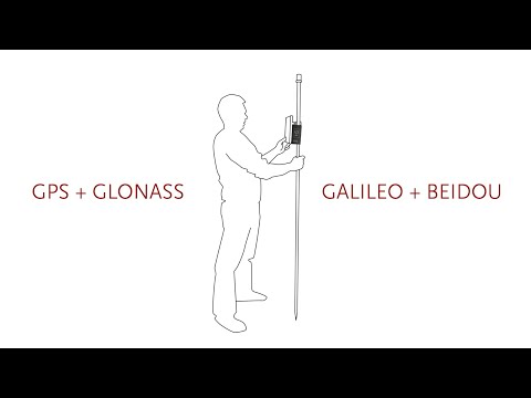
GNSS system
Multi-constellation and multi-frequency receiver with
- GPS
- GLONASS
- GALILEO
- BEIDOU
- Output rates: up to 20Hz
Device properties
USB connecttion: 1 × USB
GNSS antenna connection: TNC socket (5V – max. 50mA)
Auccuracy 1
- RTK Fixed (m): 0,01 + 1 ppm
- GNSS only (m): 1,5
- DGPS (m): 0,3
Specifikations
- Current input (V DC): 5 or 9-36 optional
- Power consumption (watts): < 0,5
- Working temperature (°C): -20 to +70
- Weatherproof: IP54 (optional IP65)
- Size (mm): 125 × 30 × 55
- Weight (g): 130
1) Accuracy depends on atmospheric conditions, signal multipath effects, satellite geometry and available corrections and their quality. Position accuracies apply to attitude accuracies. The height deviation is normally less than twice the position error. The performance data applies to at least five satellites and use in accordance with the manual. In areas with high signal multipath effects, poor satellite geometry (high DOP values) and at times of difficult atmospheric conditions, the performance may decrease.
Data sheet: ppm10xx GNSS sensor

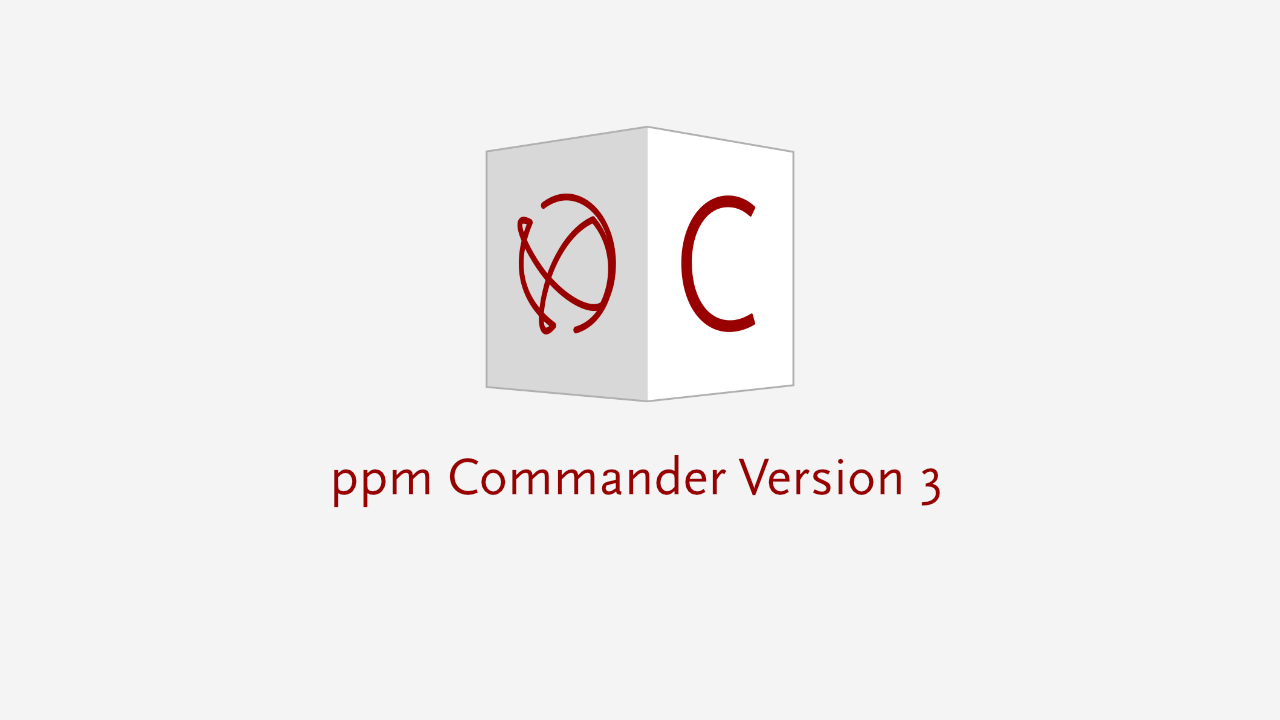
The ppm Commander software
The ppm Commander is a software programme that takes care of all GPS hardware settings and configurations relating to GPS surveying.

CONFIGURATION
of your GPS/GNSS receiver according to your requirements.

CORRECTION DATA
are received and analysed via NTRIP over the Internet.
TRANSFORMATION
into the local coordinate system you require.
We support online transformation (via RTCM stream) or local geoid files.

DATA TRANSFER
of the corrected (e.g. RTK) and transformed data via virtual serial port to your application software and/or via Windows’ localisation manager.
Under Android via pseudo-location or via a data provider that can be integrated into the application app.

Our software recommendation


SUN-MOBIL
Mobile data acquisition software from the Schwing & Dr. Neureither Geoinformation Centre.
The app offers extensive options for the mobile recording of data. In addition to intuitively usable data entry forms, a map view is available in which the objects are displayed.
Users can also use the map to navigate directly to an object.
The device camera can also be used to create comprehensive photo documentation. A new approach for the 3D recording of supply lines.

This is just a small selection of compatible software packages.
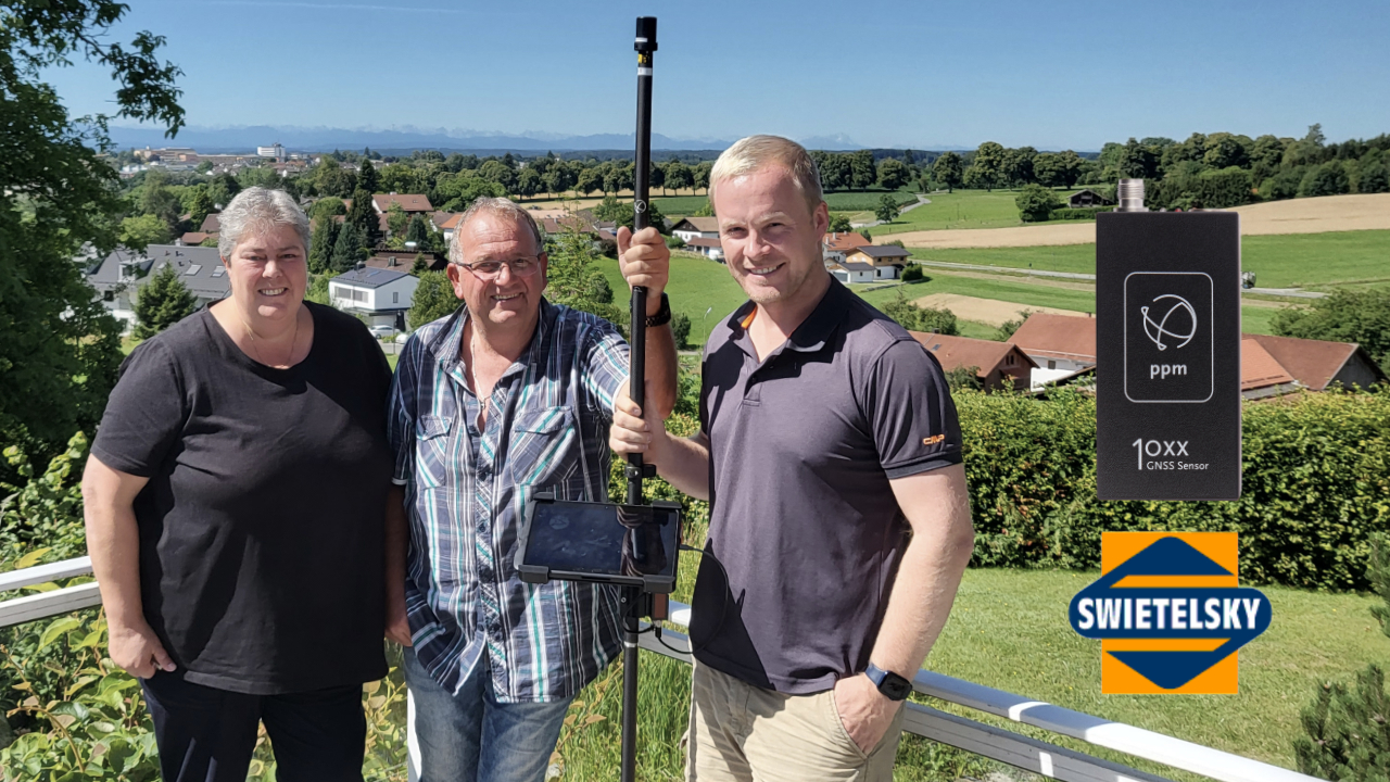
ppm10xx
What customers use it for.

Simply connect.
Measure precisely.

Stow away compactly.
– Precision made in Germany –