
There are virtually no limits to the possible applications of GPS technology today: The City of Vienna uses a solution for mobile GIS data collection from PPM GmbH for the maintenance of the popular Alte Donau bathing water.
“To ensure that the Alte Donau remains an attractive recreational area in the middle of the metropolis, tons of underwater plants have to be mowed every year. However, these plants are also responsible for the good water quality and serve as spawning grounds and retreats for fish,” explains biologist and computer scientist Sascha Pall, authorized signatory at systema GmbH. In 2013, the City of Vienna commissioned the company to develop a solution for the management of underwater mowing in the Alte Donau. “To maintain the ecological balance, it is therefore extremely important to precisely demarcate mowing areas and protection zones.”
Over the past ten years, the growth of underwater plants has steadily increased, partly due to climate change and the associated rise in temperature. As a result, mowing management was intensified from 2013 and taken over completely by the City of Vienna from 2018. Since then, around 25 mowing boats have been operating on the Alte Donau every day during the main season. With the takeover of mowing management, the process was also fully digitalized: From the recording and visualization of plant populations to the coordination of the mowing boats to the verification of mowing progress and the automated creation of logs, all processes run via an online portal programmed by systema GmbH and made available to the City of Vienna.


Precise measurement with GPS technology
„Damit nicht versehentlich in die Schutzzonen hineingemäht wird, sind exakte Positionsdaten von zentraler Bedeutung“, sagt Sascha Pall. „Wir nutzen eine Lösung der PPM GmbH, mit der sich die Daten mobil und gleichzeitig hochgenau erfassen lassen.“
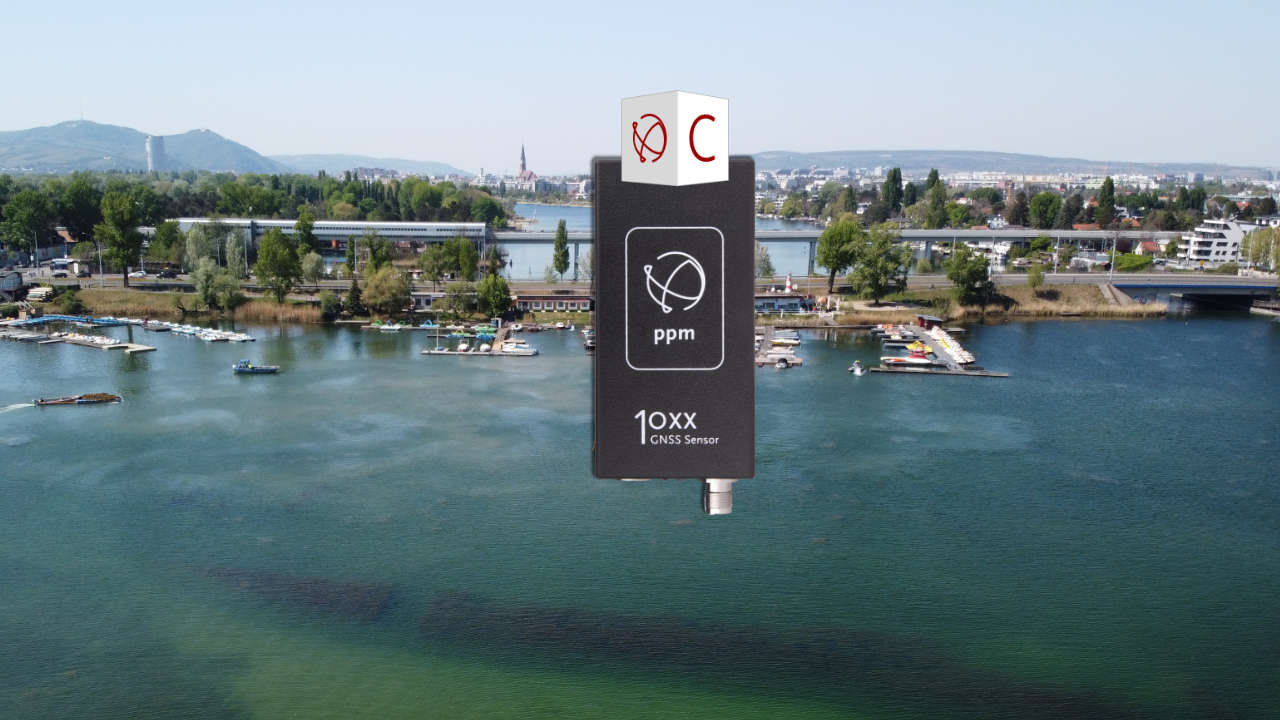
During the bathing season, the growth of the underwater plants is measured every week. Echo soundings are used to determine how far the underwater plants are from the water surface. The results are provided to the City of Vienna in the online portal as an interactive map for planning mowing operations. The biologists use the ppm10xx GNSS sensor to record the position data with centimeter accuracy. This is a multi-frequency RTK receiver that supports all GNSS systems (GPS, GPS, GLONASS, GALILEIO, BEIDO) with almost all frequencies. Thanks to its ultra-compact dimensions, its low weight and a USB port, the measuring device can be easily connected to a notebook or even a smartphone. For work on the Alte Donau, the ppm10xx GNSS sensor is connected to a weatherproof notebook.
High efficiency thanks to digitalization
All mowing boats on the Alte Donau are also equipped with a weatherproof notebook to which a ppm10xx GNSS sensor is connected. As soon as the city administration has created a mowing area, the mowing boat drivers can see it on their notebook and start working. The ppm10xx GNSS sensor helps boaters to maintain the exact dimensions of the mowing area and avoid redundant work. As soon as a boat has mowed an area, it can be assigned a new job via the portal. This guarantees that the boats are fully utilized at all times and a very high level of efficiency is achieved.
Significant improvements achieved
Thanks to the new solution, the situation has improved significantly compared to the past. The constantly growing population of the city of Vienna appreciates the Alte Donau as a local recreation area. At the same time, sufficient underwater plants are preserved in designated protection zones to provide protection and habitat for numerous animal species and act as a filter for clear and clean water.
About systema GmbH / systema.at
systema GmbH specializes in the field of limnology and IT. With a team of scientists, divers and IT experts, systema GmbH specializes in the recording, documentation, assessment and management of aquatic plants and wetland vegetation (macrophytes in the broader sense).
systema GmbH maps flora and vegetation in and around lakes, rivers and floodplains and records the relevant influencing factors, such as selected chemical-physical parameters, hydromorphology and any anthropogenic pollution. Depending on requirements, the assessment of vegetation conditions is carried out in accordance with the Water Framework Directive (WFD), Fauna-Flora-Habitat Directive (FFH-Directive), relevant standards (ÖNORM, DIN, CEN, ISO) or the applicable nature conservation laws and regulations.
In addition, systema GmbH offers support for water management and hydraulic engineering projects with regard to planning, submission, monitoring and success control, whereby interdisciplinary work is carried out in close cooperation with relevant specialist colleagues, civil engineers, universities and planning offices. The IT department develops software for special requirements, such as the collection, evaluation and visualization of vegetation data, and assembles tailor-made hardware.
(Image rights: systema GmbH)