

Accurate Data for Reliable Forecasts
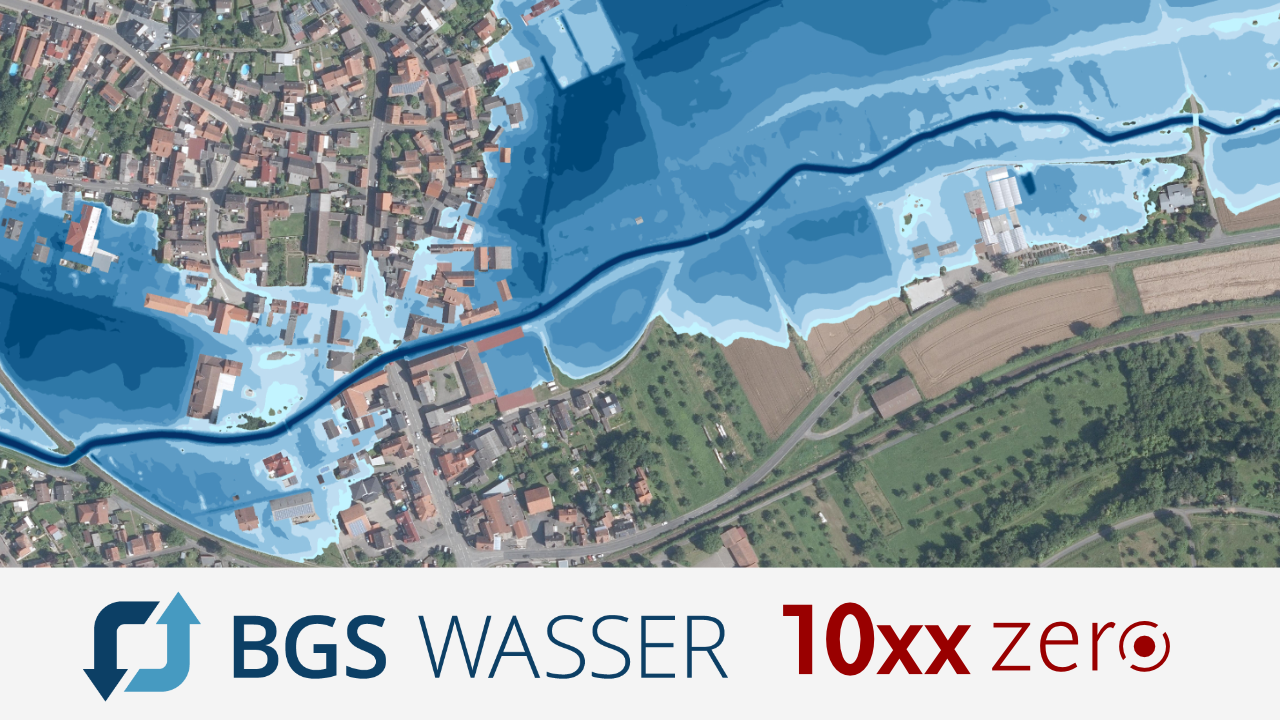
Numerical models can calculate the effects of extreme weather events. The accuracy of these computer simulations depends on the quality of the data used. With the ppm10xx zero GNSS sensor, Brandt Gerdes Sitzmann Wasserwirtschaft GmbH (BGS Wasser) can collect significantly more measurement points to increase the profile density of its models and thereby improve the reliability of its forecasts.
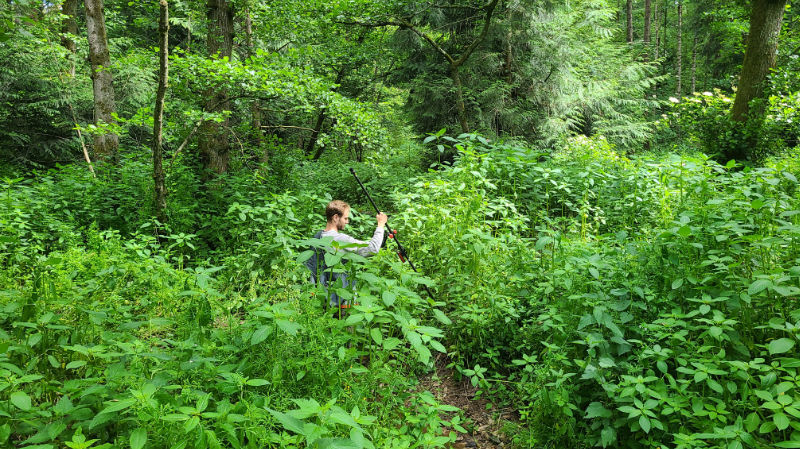
The ppm10xx zero is an RTK system that allows users without surveying training to quickly and easily capture highly accurate position data, even when the measuring rod is held at an angle. The core component of the system is the GNSS sensor, which processes signals from multiple satellite navigation systems. This ensures that sufficient satellite signals are available even in challenging locations, such as under dense vegetation or near tall structures. This enables data collection with centimeter-level accuracy.
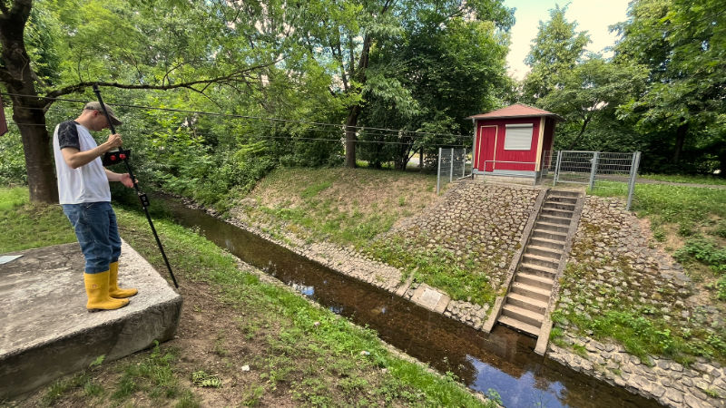
The complete system in use at BGS Wasser consists of the following components:
- ppm10xx zero
- Samsung Galaxy Tab Active 5
- 2-meter antenna rod, extension pieces up to 4 meters
- Carlson Layout
BGS Wasser combined the ppm10xx zero with a 2-meter-long measuring rod that can be extended to 4 meters using extension pieces. This option is particularly advantageous for measuring greater water depths and surveying shafts. An IMU is integrated into the measuring rod, which reliably compensates for any tilt in the rod. This even allows for overhead measurements.
The measuring rod is ergonomically designed, which makes surveying work even easier. The tablet and the GNSS sensor are mounted in the center of the measuring rod, and the high-performance Helix antenna weighs 25 grams. This prevents the top-heaviness typical of surveying systems. Even during extended use in rough terrain, on steep slopes, or in water, the system does not strain the user.
“We’re making much faster progress in the field, which means we can collect more data in the same amount of time than before,” confirms Leonhard Schreiber, project engineer at BGS Wasser.
The engineering firm, headquartered in Darmstadt, is divided into four departments and, among other things, develops comprehensive and sustainable water management solutions that protect water bodies, preserve the environment, and provide flood protection.
The ppm10xx zero is primarily used in waterway surveying, for example, to create cross-sectional profiles in waterways, structural profiles of bridges, or at culverts, weirs, sluice gates, and other structures in and along waterways. The data collected serves as the basis for hydrodynamic numerical models. These models simulate real-world conditions on a computer to identify water levels, flow velocities, and potential flood areas.
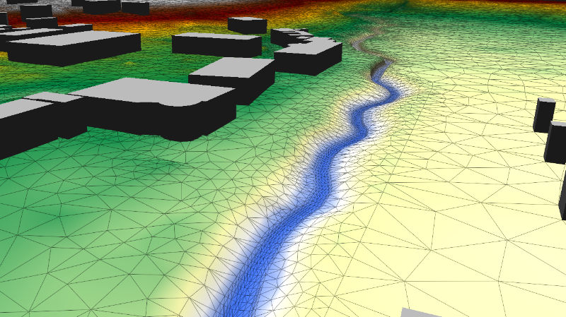
As climate change leads to an increase in extreme weather events, these computer simulations are becoming increasingly important for flood protection.
“Our computational models are a tool that allows us to study the effects of extreme weather events in order to develop and scale measures to protect the public,” explains Leonhard Schreiber.
In recent years, the performance of simulation computers has increased dramatically. This allows for a higher level of detail in computational models, which has a direct impact on safety—for example, when determining water levels, designating floodplains, or planning structures. The accuracy of the results depends heavily on the level of detail in the input data—that is, how precisely the positions were determined and how densely the survey points are spaced.
The ppm10xx zero’s user-friendliness has also helped BGS Wasser collect significantly more data points. The intuitive user interface enables all employees to record accurate data, even without any prior knowledge of surveying.
“It’s so easy to use that the instrument is frequently employed by all of our departments and is even ‘just grabbed’ on the fly, for example, to take measurements at a construction site,” Schreiber confirms.
“For our waterway surveys, which serve as the basis for hydraulic models, we now have the ability to work with a higher profile density, which has a direct impact on model quality.”
During the measurements, the recorded points are first uploaded to the cloud for backup purposes. There, they are available for further processing in the office. Depending on the intended use, they are imported into various programs, such as QGIS, Autodesk Civil3D, SMS, or HydroAS. They are also used in BGS’s internal programs, including ProfilEditor—which is used to process watercourse profile data—and HydroSimM-UnRunOff for simulating heavy rainfall. This digital workflow further streamlines the surveying processes.
With the ppm10xx zero, many of the challenges associated with surveying in rough terrain are now a thing of the past. Leonhard Schreiber recalls:

“We had previously used a different GNSS system that was significantly heavier. We also had problems with GNSS reception under vegetation. When trying to survey a water profile at the designated location, the signal would regularly drop out. We always had to make a decision on the spot about how to handle the situation: Could the profile be surveyed better at a different location? Did we need to calibrate a total station to capture the missing points? All of these things took a lot of time and were very frustrating.”
Since the system was also getting a bit outdated, the company began looking for a new solution. The criteria that were decisive in this search were ones where the ppm solution excels:
• Ease of use, • good signal reception under vegetation, • tilt compensation without a tilt limit, • low weight, • sales expertise, • and price. Michael Villis, Sales Manager at ppm GmbH, presented the system and the software. BGS Wasser was then able to test both in the field.
After deciding on the ppm10xx zero, the solution was presented in detail and set up so that everyone could work with it.
Numerical models can predict the effects of extreme weather events and are used to develop protective measures. The accuracy of these computer models depends on the data set on which they are based. With the ppm10xx zero, BGS Wasser was able to increase the density of its data points, which is reflected in the quality of the models and, consequently, in the reliability of the forecasts.