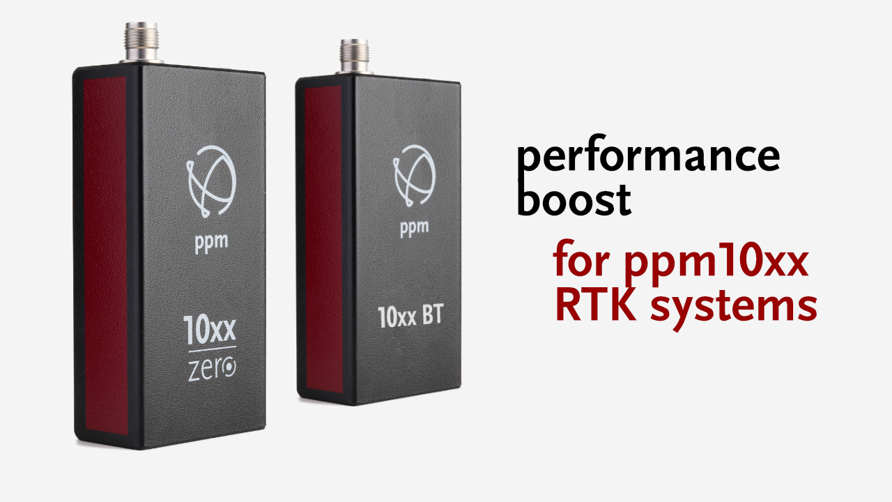

Effective immediately, ppm GmbH is equipping two RTK systems with state-of-the-art GNSS triple-frequency technology: The ppm10xx zero, featuring tilt compensation and Bluetooth, and the ppm10xx BT, featuring Bluetooth, both incorporate this additional third satellite frequency. This increases accuracy and stability and enables even more reliable 3D data collection, especially under challenging reception conditions.
“The latest generations of GPS, Galileo, and Beidou satellites now offer the third frequency in sufficient numbers to enhance performance in everyday use. Integrating it into our two successful models, the ppm10xx zero and ppm10xx BT, was therefore a logical step for us,” says Michael Singer, Managing Director of ppm GmbH. “This expands the capabilities of the ppm10xx system series to include features that were previously reserved primarily for more complex GNSS measurement systems.”
The ppm10xx zero and ppm10xx BT are compact GNSS RTK systems designed for high-precision 3D data collection in civil engineering, GIS documentation, utility line construction, utility network maintenance, and municipal applications.
GNSS 3-frequency technology for a significant performance boost
Improved performance in challenging environments—such as under trees, in city centers, between buildings, or in construction pits—is a key advantage of using GNSS-3 frequency technology. More frequencies enable more precise mathematical detection and filtering of reflected signals, thereby ensuring robust multipath suppression.
In addition, ionospheric disturbances caused by intense solar activity can be better modeled and mitigated, resulting in significantly improved stability of the cm-level solution. In the event of temporary shadowing, FIXED solutions can be restored more quickly, thereby significantly increasing the operational readiness of the surveying system.
Initialization—that is, the calculation of a centimeter-accurate position—also benefits from the additional frequency, particularly at the start of the survey or when the FIXED solution is lost following a signal loss. The FIXED solution is future-proof thanks to support for the latest signal sets from GPS, Galileo, and Beidou.
Compact GNSS RTK system for easy and accurate GIS data collection
This latest advancement reinforces the position of the ppm10xx series as a technological leader in the segment of compact RTK systems for professional GIS data collection. Furthermore, this innovation aligns seamlessly with ppm GmbH’s philosophy of making GIS data collection as simple, yet as robust and powerful as possible:
The devices are not only extremely portable and lightweight but also highly user-friendly. They allow for measurements with the antenna rod held at an angle, including overhead measurements. Connection to tablets or smartphones is possible via cable or Bluetooth. All collected data can be immediately integrated into any processing software. Thanks to the virtually free connection to SAPOS correction data from the German state surveying authorities and the output of standardized UTM coordinates in Germany, the application is so intuitive that companies can perform measurements independently—even without prior surveying expertise.